Since the world has been hit by the pandemic and has put a restriction on our movement, the fear of COVID-19 has encapsulated us, making us think twice before going out even for essential requirements.
Moreover, essential workers have to step out every day which puts them in a high risk zone. As governments and local bodies are investing their time in formulating a proper plan, Google is trying to do its bit in ensuring everyone’s safety. Introducing a new feature, Google Maps will now give you transit alerts helping you navigate easily.
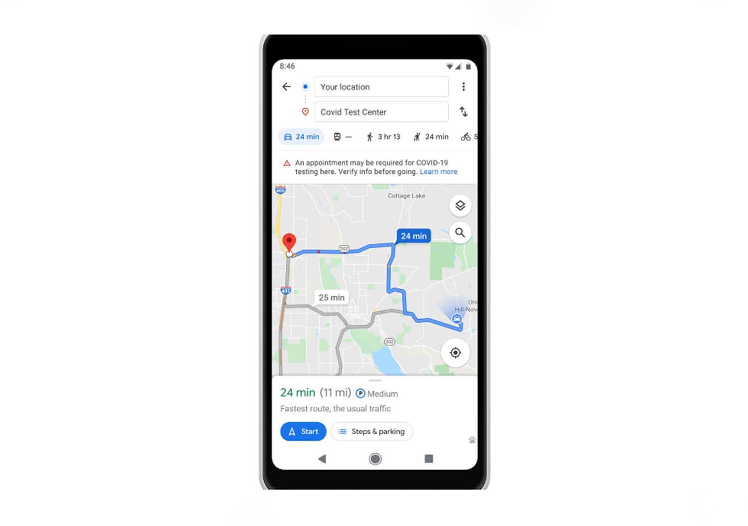
From showing the government policies for travelling in the public transport to giving you the details about the COVID-19 checkpoints and restrictions on your route, this new update will also display the details of the medical facilities where you are driving to with proper guideline so that you don’t reach the wrong hospital, causing strain on the healthcare department as well as on yourself.
To ensure social distancing, Google Map will also show the crowd of the transit station and public transport while giving you an alternative route.
This new update is rolling out in Argentina, Australia, Belgium, Brazil, Colombia, France, India, Mexico, Netherlands, Spain, Thailand, UK, US and more countries will be getting added to it soon.
Google shared the info about this new update on its social media page by writing, “COVID-19 has made getting around more complicated. We’re helping you get from A to B with new features that alert you to important information and allow you to safely avoid crowds on public transit”.
COVID-19 has made getting around more complicated. We're helping you get from A to B with new features that alert you to important information and allow you to safely avoid crowds on public transit → https://t.co/UbvQy9ihcC pic.twitter.com/1LozSND3WL
— Google Maps (@googlemaps) June 8, 2020


