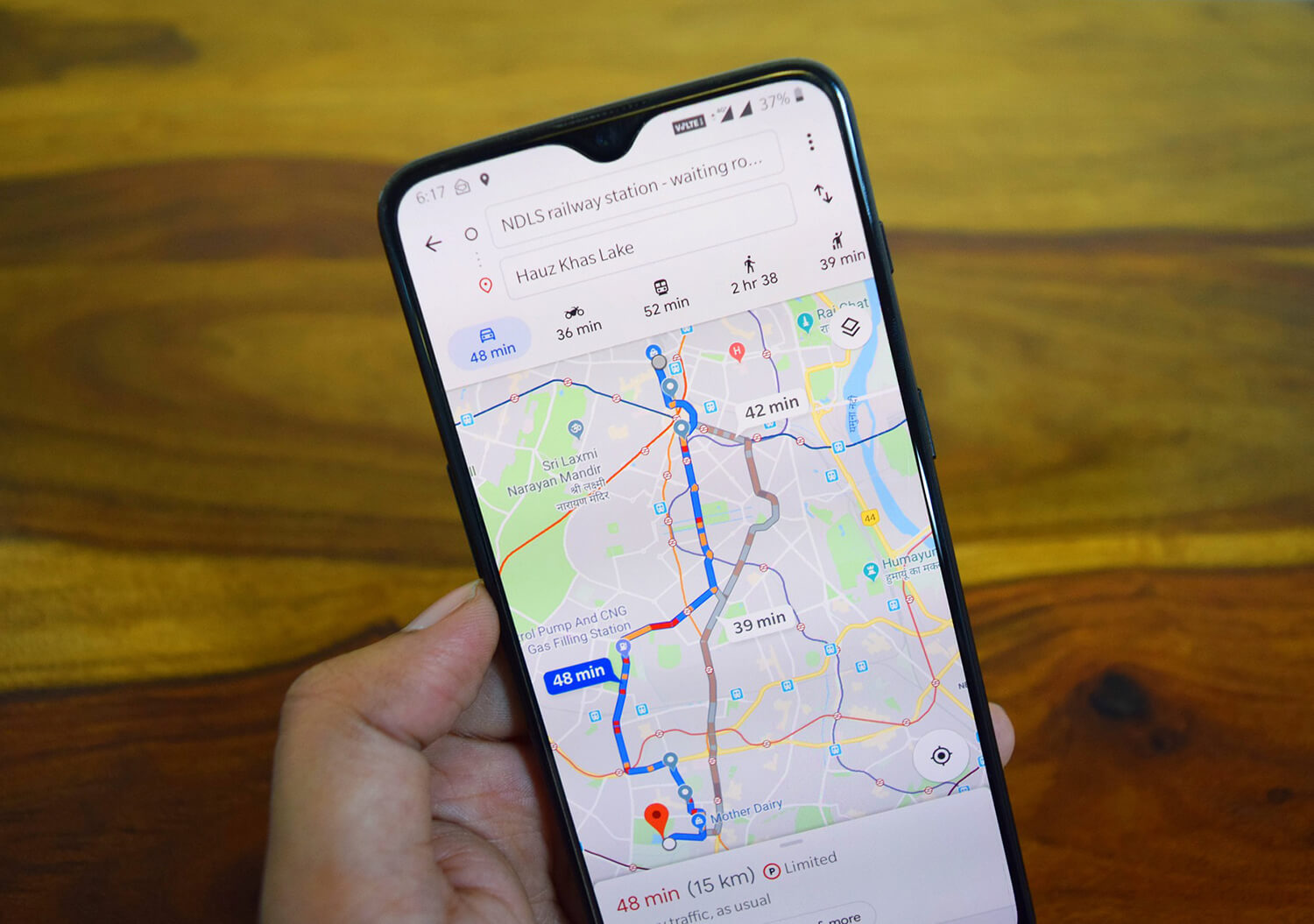
We all are familiar with the interactiveness of Google Maps but now the Californian Company is notching it up and making it even more user friendly by taking feedback from the users.
With the updated Street View app on Android, you can now collect your own Street View imagery and put it on Google Maps. All you have to do is use the new connected photos tool in the app and record a series of connected images of the path or street you’re treading upon.
The images will be captured by using ARCore which is the Augmented Reality Technology used to produce Live View. And once you upload the images, sit back and relax as Google works on the pictures, their symmetry, making little tweaks and places them aptly to create a trail which gives you the street view. This personalised way of viewing the street is an accomplishment for the company as it will connect the users more to the app and its functionality.
The best part is it doesn’t involve any rocket science and all it needs is a smartphone. Now tour the unexplored alleys where even Google has not reached and contribute more to the society.
As the company is planning to roll it out soon worldwide, the beta feature is available in Toronto, Canada, New York, Austin, along with Nigeria, Indonesia and Costa Rica.
The Street View car is now in your hands. With the updated Street View app for @Android you can collect and publish your own connected imagery to @GoogleMaps and show the world your world. https://t.co/X5BHCeYyzu pic.twitter.com/1YSogpOXvC
— Google (@Google) December 3, 2020


